How Does Google Maps Know Where the Traffic Is?
Have you ever looked at Google Maps and wondered how it magically shows which roads are packed and which ones are clear? It’s not magic at all—it’s data. And believe it or not, that data mostly comes from people like you and me.
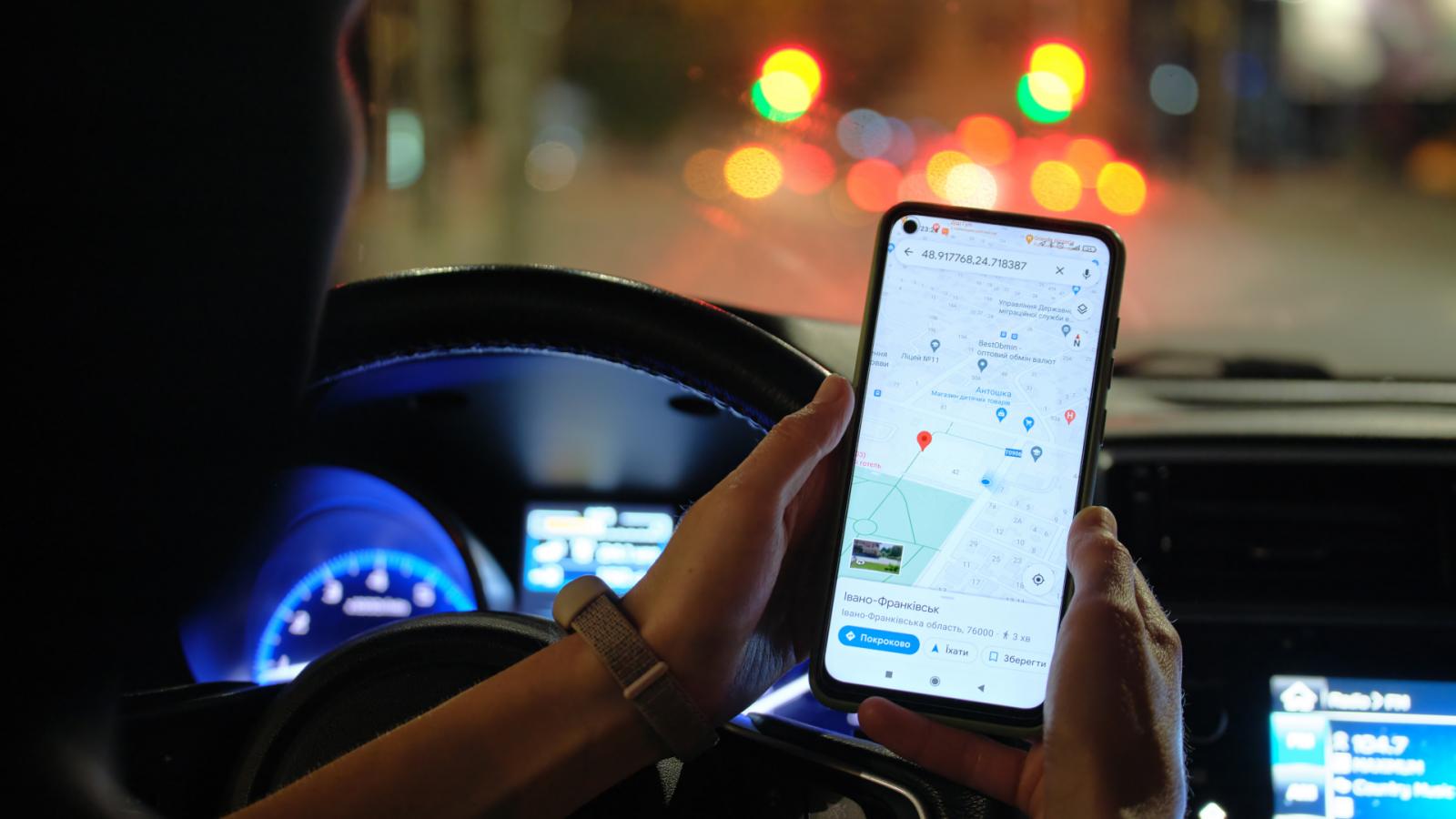
Your Phone is Part of the Traffic Network
Every time you use Google Maps on your phone, it quietly keeps track of your location. (Yes, Google knows where you are—but you can choose to turn it off if you want.) When millions of phones are moving around every day, Google gets a pretty good picture of how traffic is flowing everywhere.
It’s the Phones, Not the Cars
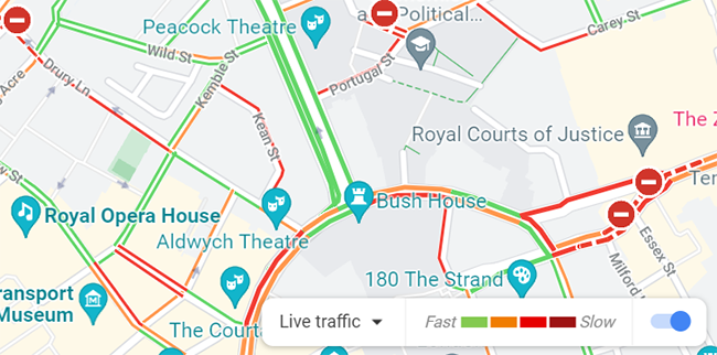
Here’s the interesting part: Google Maps isn’t actually tracking the cars on the road. It’s tracking the phones inside those cars. So when you see red lines for heavy traffic or green lines for clear roads, what you’re really seeing is the speed of people’s smartphones as they move.
How Google Predicts Traffic
Using this information, Google can figure out where traffic jams are forming, how long they might last, and even suggest faster routes to help you skip the slowdowns. It also combines live data with historical patterns—so it often knows when a road will get busy before it even happens.
More info https://techwelkin.com/how-does-google-maps-show-traffic-updates
A Peek Behind the Map
Pretty smart, right? The next time you check Google Maps before heading out, remember—you’re not just looking at traffic data. You’re looking at a real-time snapshot of millions of people on the move.
.jpg)


Comments
Post a Comment